Route through Bolivia


So from the border at La Quiacha/ Villazon, we spent some time in Tupiza (see highlights below); the scenery was a continuation of the exposed red rocks and canyons of northern Argentina – and it was warm! This was the last place I was going to be warm until Coroico (see highlights below).
I got the bikes jet swapped out in Tupiza to allow for better breathing before we headed out into the mountains (photo right) onto the antiplano (at 4000m elev.). We had taken the dirt roads east to San Pablo de Lipiz before going north San Cristobal and Uyuni.
Its very remote out this way (and high, and cold) and we sorta got lost and ended up spending the night in the offices of a mine encampment (not recommended), but we survived to make the trip to Uyuni and take the obligatory silly photos.
Following Uyuni, fantastic roads led us to easterly to Potosi and Sucre and north to Cochambamba and then La Paz.

The Death Road to Coroico here is a nice way to drop down the altitude levels, however I did it the other way around; taking the lovely new road down and then el Camino de la Muerte back up (trying not to smash into any mountain bikers) as id ridden past the entrance and was too cold and grumpy to turn back and find it (see highlights below).
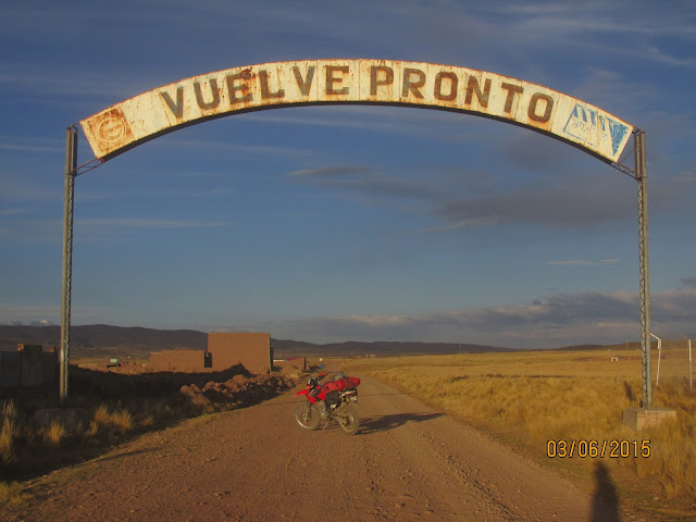
Leaving La Paz, we went first to Tiwanaku (for Puma Punku), then around the beautiful southern edge of Titicata to Copacabana.


One of the cactus 'islands' in the Salaar

The flanks of the volcano on the northern edge of the Salaar where you can find a couple of salt hotels

Leaving La Paz, we went first to Tiwanaku (for Puma Punku), then around the beautiful southern edge of Titicata to Copacabana.


One of the cactus 'islands' in the Salaar

The flanks of the volcano on the northern edge of the Salaar where you can find a couple of salt hotels

This is what happens when you take a short cut near the edges of the Salaar (and you have a fat arse bike). It took 2 hours to drag that Tiger out.

Dirt day into the hills by Cochabamba (below)


La Paz at 3200 - 4000m elevation


Lago Titicaca at 4000m elevation

There are a couple of canyons at the start you can (try) to ride up – we didn’t get far, they are pretty rocky but you can go for a wonder around.


Dirt day into the hills by Cochabamba (below)


La Paz at 3200 - 4000m elevation


Lago Titicaca at 4000m elevation

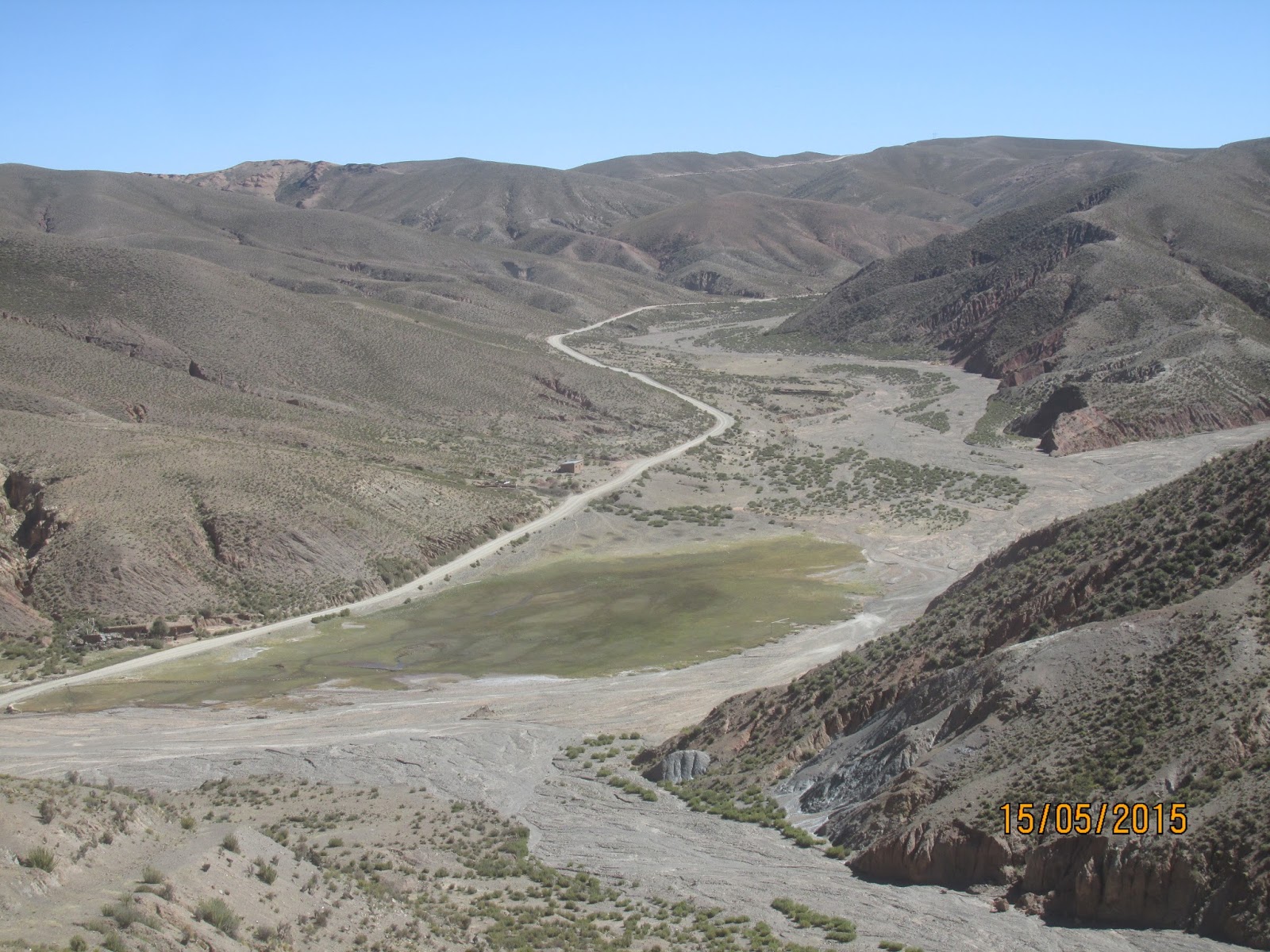
Highligh: Tupiza Canyon loop (50km, ½ day)
This was a short but spectacular ride, I wish id headed out earlier so I could catch the sunset on the back end of the loop.There are a couple of canyons at the start you can (try) to ride up – we didn’t get far, they are pretty rocky but you can go for a wonder around.


Highlight: La Paz – Coroico return via La Camino de Muerte (260 km, 2 days)
It was so cold leaving La Paz and with the cloud that comes up the valley from Coroico its hard to see the sealed road nevermind the entrance to the famous Death Road.


Inviting right?


The most incredible view in Bolivia I think; from the top of the sealed road out of La Paz heading down to Coroico - if you're lucky and theres no cloud making its way up the valley from the jungle (photo below).


Comments
Post a Comment