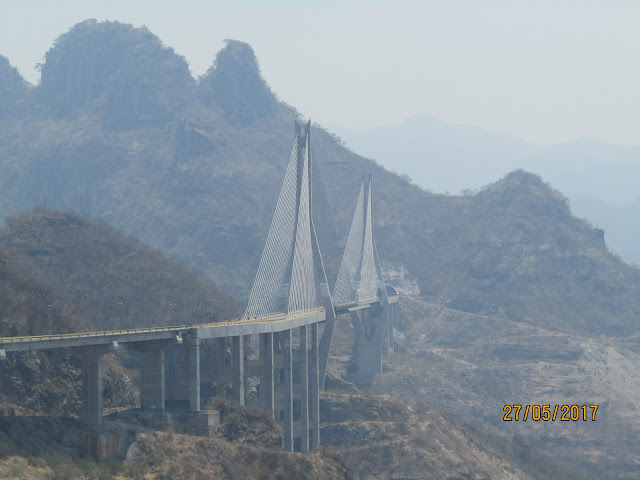
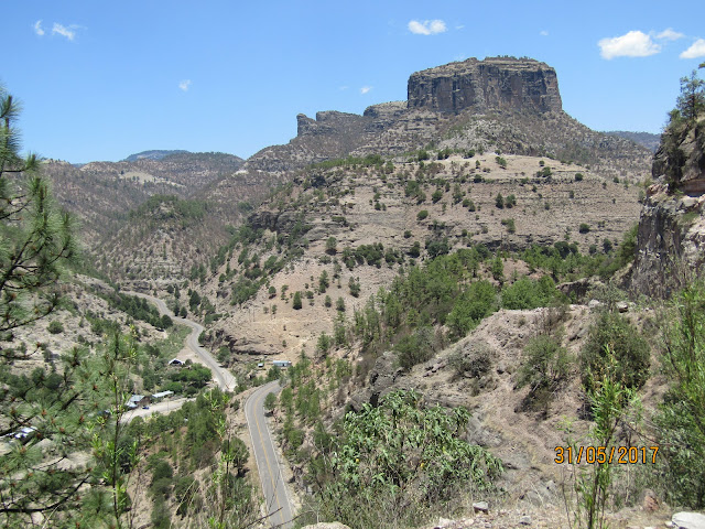
Copper Canyon - Barrancas del Cobre - the long trip via pavement
Every time I enter a new state in Mexico, I think 'this is it, I've found my favourite state', and Chihuahua was no exception.
The Copper Canyon is somewhat out of the way, however the riding around 85% of the route shown below has been fantastic with huge vistas, pretty decent pavement, beautiful twisties and a remote cowboy culture that really does make you feel as if you're in the wild west.
My fully paved route was 2,095km in total and is described briefly as follows:
Day 1 Mazatlan to Durango, 250km..
Day 2 Durango to Cross roads, 240km..
Day 3 Cross roads (el Ciento Veinte) to Hidalgo de Parral, 170km..
Day 4 Parral to Batopilas (canyon base), 350km..
Day 5 Batopilas to Creel, 140km..
Day 6 Creel roundtrip to Barrancas del Cobra\Divisidero, 90km..
Day 7 Creel to (Basasiachi falls) Yecora, 280km..
Day 8 Yecora to Alamos, 330km..
Day 9 Rest day in Alamos..
Day 10 Alamos to Topalabampo, 245km (for the La Paz ferry)..
The route is highlighted by the red markers below (where I stayed the night).

Day 4 Heading down from the rim of the canyon (below). I purposefully left this till late afternoon for the best lighting (and temperature!).
Day 5 (below), heading up and out to Creel with some boys I picked up at Hotel Juanita's in Batopilas.
Day 6 (below) the view from Barrancas del Cobra\Divisidero.
Plenty of gas on route! And passable oXXo coffee..
Out of Durango, the temperature in the high country (2000-3000m elev.) Was 15-25°. This rose to 40° in Batopilas and again leaving the mountains on Day 8 after a couple hours of riding incredible twisties on Ruta 16.
Day 8 below, the last of the mountains.
The Copper Canyon is somewhat out of the way, however the riding around 85% of the route shown below has been fantastic with huge vistas, pretty decent pavement, beautiful twisties and a remote cowboy culture that really does make you feel as if you're in the wild west.
My fully paved route was 2,095km in total and is described briefly as follows:
Day 1 Mazatlan to Durango, 250km..
Day 2 Durango to Cross roads, 240km..
Day 3 Cross roads (el Ciento Veinte) to Hidalgo de Parral, 170km..
Day 4 Parral to Batopilas (canyon base), 350km..
Day 5 Batopilas to Creel, 140km..
Day 6 Creel roundtrip to Barrancas del Cobra\Divisidero, 90km..
Day 7 Creel to (Basasiachi falls) Yecora, 280km..
Day 8 Yecora to Alamos, 330km..
Day 9 Rest day in Alamos..
Day 10 Alamos to Topalabampo, 245km (for the La Paz ferry)..
The route is highlighted by the red markers below (where I stayed the night).

Day 1 on the 40D toll up from Mazatlan to Durango.
Day 3 (below) crossing into Chihuahua State from Durango State
Day 4 Heading down from the rim of the canyon (below). I purposefully left this till late afternoon for the best lighting (and temperature!).
Day 5 (below), heading up and out to Creel with some boys I picked up at Hotel Juanita's in Batopilas.
Day 5, Lago Arareko (below), just coming in to Creel.
Day 7 (below) the (dry - in dry season) falls at Basasiachi. Mexico's highest waterfalls.
Plenty of gas on route! And passable oXXo coffee..
Out of Durango, the temperature in the high country (2000-3000m elev.) Was 15-25°. This rose to 40° in Batopilas and again leaving the mountains on Day 8 after a couple hours of riding incredible twisties on Ruta 16.
Day 8 below, the last of the mountains.


Comments
Post a Comment